Dead Horse Point
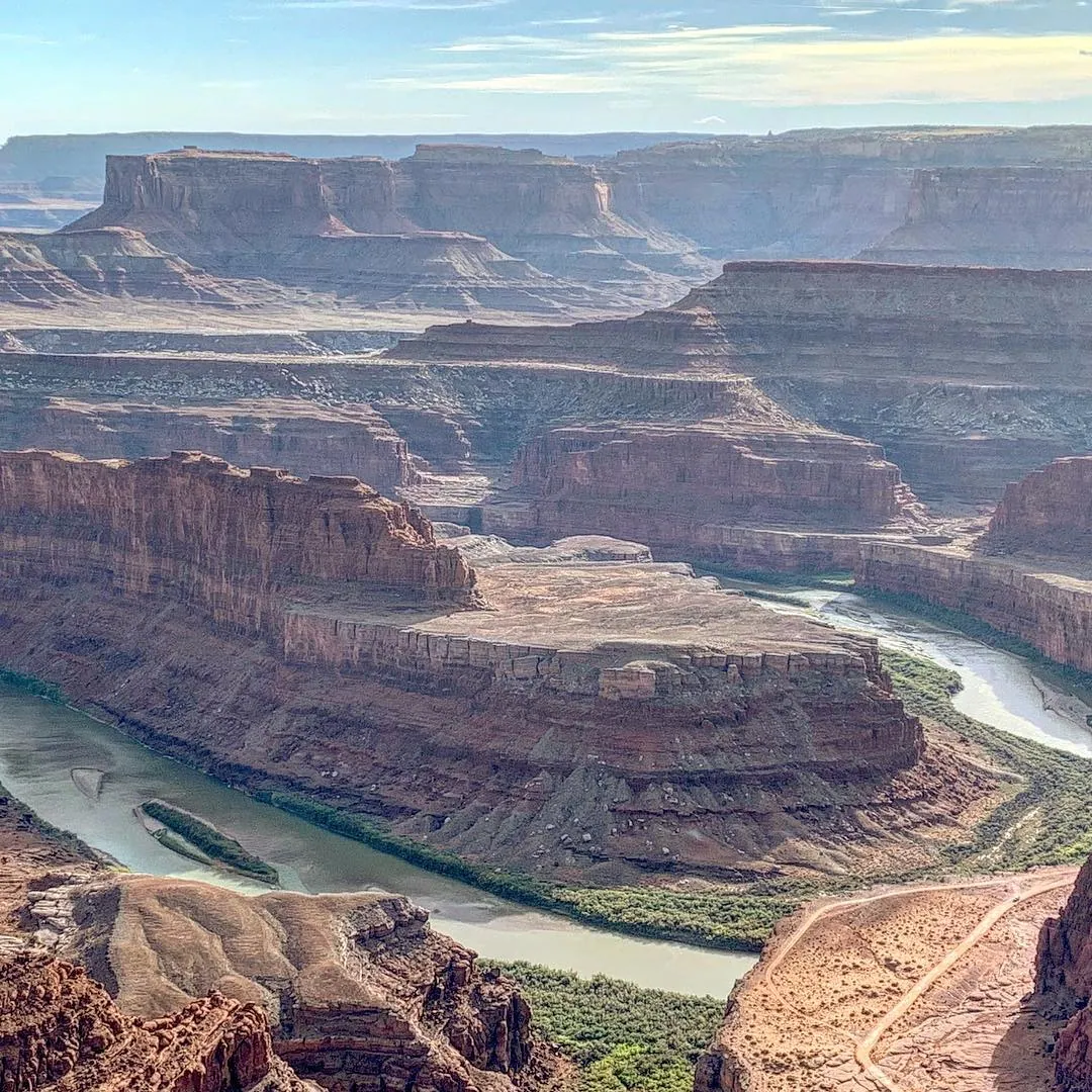
A Utah state park near Moab: a 600 m drop to a bend of the Colorado River, red canyons to the horizon and bright blue evaporation ponds.
What it is
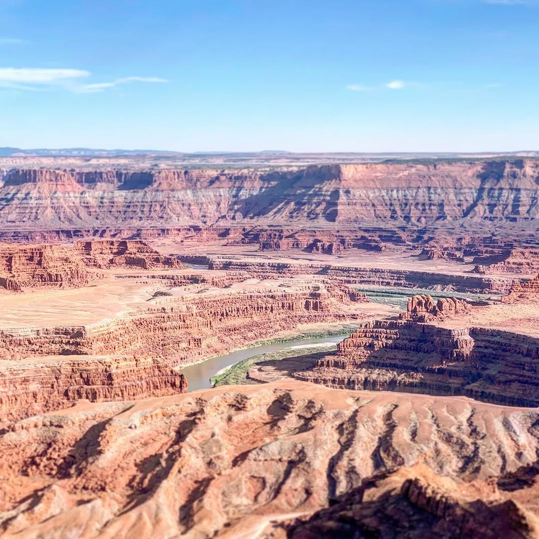
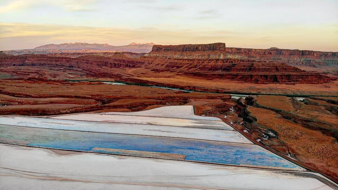
Dead Horse Point is a narrow promontory on a mesa next to Canyonlands National Park. From the overlook at its tip, the Colorado River makes a tight bend some 600 m below. The bright blue patches in the distance are the evaporation ponds of a potash mine. The name comes from a legend: cowboys drove wild mustangs onto the point and fenced off its neck, only about 30 yards wide; some horses were left behind and died of thirst within sight of the river.
When and how
The park is about 40 minutes from Moab, close to Arches and the Island in the Sky district of Canyonlands, an easy combination for one trip. Entry is paid, and passes are sold online. The East Rim and West Rim trails follow the edge for about 2.4 and 4.8 km one way. Spring and autumn are best; summer afternoons are hot.
Tip
Come at sunrise or sunset, when the canyons turn red. The park is a certified dark sky park, so stay for the stars too.
Photos and video
More in this country
 Summit4207 m
United States · 2020
Mauna Kea
Hawaii's highest point at 4,207 m and a world-class astronomy site: sunset above the clouds among the domes of the summit telescopes.
 Sight
United States · 2020
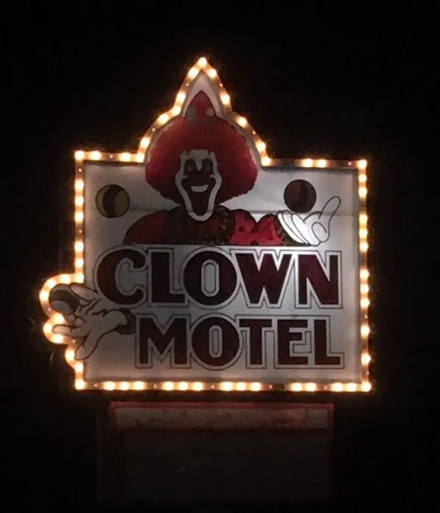
Clown Motel
A motel in the mining town of Tonopah, Nevada: more than 2,000 clown figures in the lobby and an old miners' cemetery right next door.
 Sight
United States · 2020
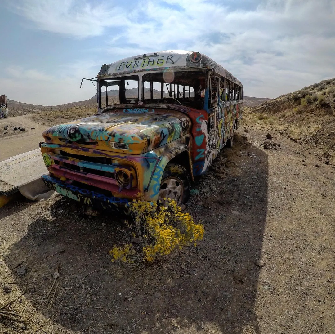
International Car Forest, Goldfield
A desert art site in Nevada: dozens of painted cars and buses planted nose-down in the ground. It sits off US-95, the same road as the Clown Motel.